Calling all citizen scientists
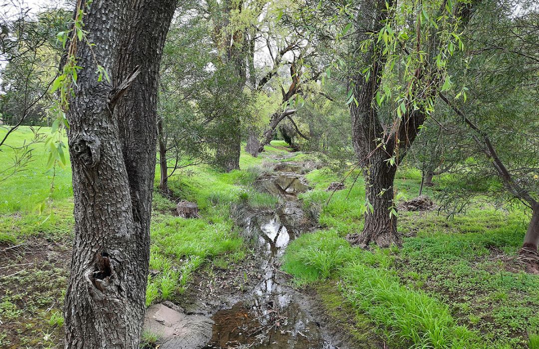
Delivered as part of the Urban Creek Resilience and Recovery Project, 15 permanent photo stands have been installed along the 5.3-kilometre creek corridors.
Each stand includes a QR code that lets visitors take and upload a photo on the spot.
These images create a growing visual record of how the creeks change across seasons, weather events and restoration works.
City of Onkaparinga Nature Conservation Project Officer Nikola Manos said long-term visual monitoring plays a vital role in tracking progress.
“We need to track how the creeks change over 5 years and show how the project has helped the community to connect with nature,” Nikola said.
“A picture can show what words can’t - thousands of photos will tell a story of transformation over time.”
The photo stands support other monitoring already underway, including water quality testing, weed mapping and wildlife surveys. Together, this data builds a clearer picture of how the creeks respond to restoration.
Panalatinga and Serpentine Creeks face challenges common to urban waterways, including concrete channels, vegetation loss, weed invasion, erosion, silt build-up and localised flooding. The broader project addresses these issues through habitat restoration and more natural construction approaches.
The program has already attracted strong community interest. Local schools, Scouts groups and regular trail users have uploaded around 500 photos so far, with the Serpentine Creek bridge near Banff Court in Happy Valley emerging as a popular photo point.
The initiative builds on the City of Onkaparinga’s award-winning Urban Creek Recovery Project, which improved 62.5 kilometres of watercourse habitat between 2013 and 2018.
To get involved, visit a photo point, scan the QR code and upload a photo. To learn more about the project or receive updates, visit City of Onkaparinga.
Image credit: City of Onkaparinga.