Snap a photo to help protect South Australia’s beaches
A quick photo at the beach can help build a clearer picture of how South Australia’s coastline changes over time.
CoastSnap is a global citizen science project that invites people to take repeat photos at the same beach location and share them with researchers. Scientists use these images to track changes in shoreline position, beach width and sand levels.
The City of Marion was the first South Australian council to support the initiative, with monitoring stations at Hallett Cove and Marino.
The City of Charles Sturt also supports the initiative, with CoastSnap stations along its coastline at Grange Jetty, Henley Jetty, Point Malcolm Beach Access Ramp and West Beach.
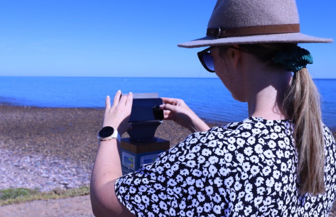
CoastSnap uses specially designed phone cradles installed at beach viewing points. Visitors place their smartphone in the cradle, take a photo and submit it through the free CoastSnap app.
Taking photos from the same position helps researchers compare images over time and understand how beaches respond to storms, waves, tides and other coastal conditions.
The images build a valuable record of coastal change. Researchers can use the data to improve their understanding of erosion and beach recovery, helping inform future coastal management.
So, next time you visit the coast, look out for a CoastSnap station and add your photo to the collection. Your contribution can help researchers understand how our beaches change and support better decisions about their future.
Find out more at City of Marion and City of Charles Sturt.